Why OlmoEarth Embeddings Matter for Spatial Computing
Open-source geospatial foundation models just got a lot more practical with custom embedding exports....
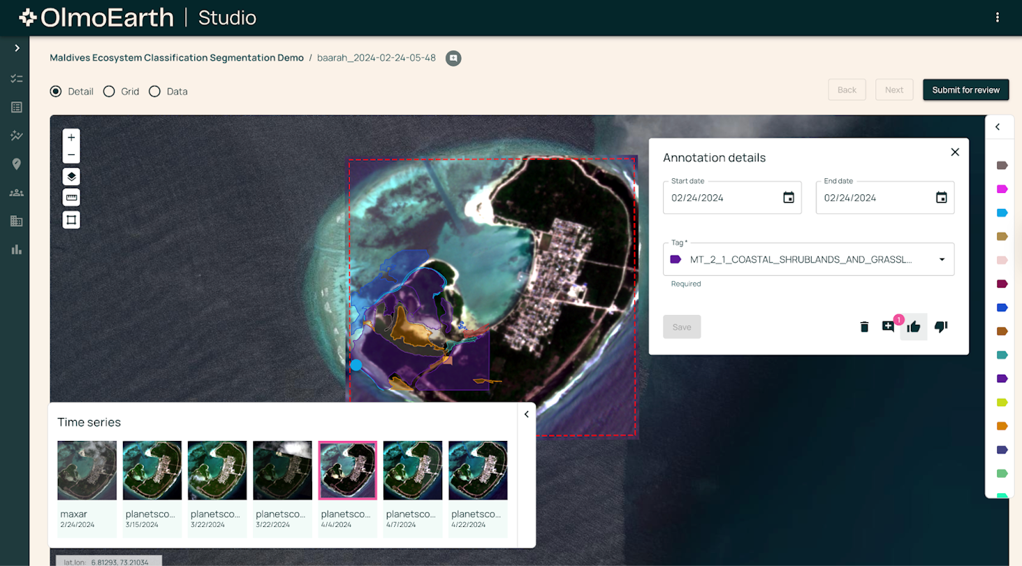
Most enterprise geospatial AI feels like a closed black box. You hand over your budget, wait weeks for custom processing, and pray the proprietary model actually works on your specific region of interest. That is why the release of OlmoEarth embeddings feels genuinely refreshing. Instead of locking everything behind a gated web portal or forcing you to spin up massive compute clusters from scratch, this approach gives builders actual access to the raw weights, source code, and lightweight raster outputs.
The core idea here is straightforward yet powerful: compress complex Sentinel-1. Sentinel-2 imagery into dense numerical vectors stored neatly inside Cloud-Optimized GeoTIFFs. Because these arrays use int8 quantization. The they're shockingly small and fast to handle! So what changed? You can pull a Nano variant for quick prototyping, scale up to Base when accuracy is top. Honestly, and generate monthly time-series instead of relying on stale annual averages. It turns out that when you let engineers actually tweak factors like spatial resolution and seasonal windows. They build vastly better downstream sorting and similarity search tools.
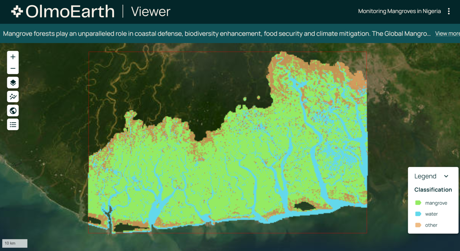
What I appreciate most about this launch is the commitment to local transparency and on-demand compute. Rather than forcing teams to scrape a sluggish global archive, the platform processes your exact polygon when you ask for it. This eliminates guesswork. Similar surface features cluster naturally in the reduced vector space, while distinct geographies push far apart.
If you care about craft and want to stop fighting bloated enterprise GIS stacks, pull the code and run some local tests. Good engineering usually starts when the tooling gets out of your way.